Mały Szlak Beskidzki MSB
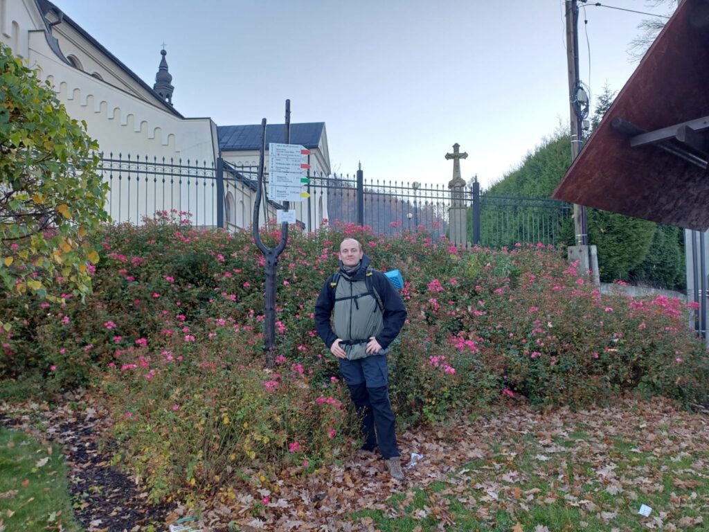
Jakiś rok temu w mojej głowie zakiełkował pomysł przejścia górskiego szlaku długodystansowego i tak po przemyśleniach wybór padł na Mały Szlak Beskidzki (MSB). Za tą niepozorną nazwą kryje się około 135 km trasa, która zaczyna się w Bielsku – Białej Straconce i wiedzie przez Beskid Mały, Makowski, Wyspowy, aby zakończyć się na Luboniu Wielkim koło Rabki- Zdroju. Projekt dość długo dojrzewał. W między czasie dwa razy już pakowałem plecak, ale nie czułem się gotowy i odkładałem start, aż do minionego tygodnia. Ostatni długi weekend w tym roku, więc trzeba go było wykorzystać.
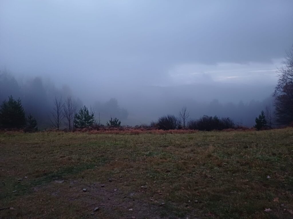
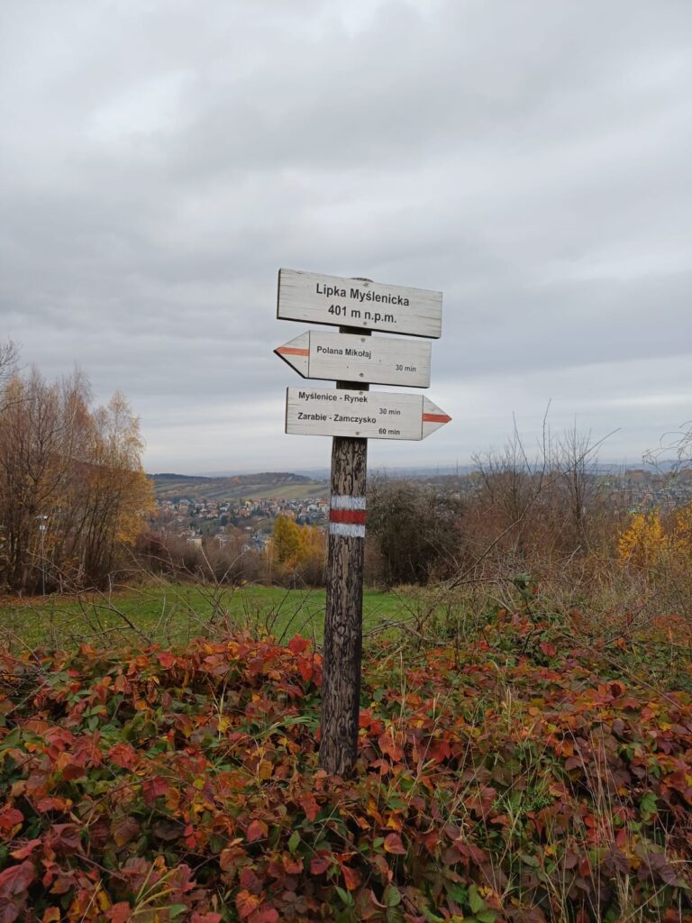
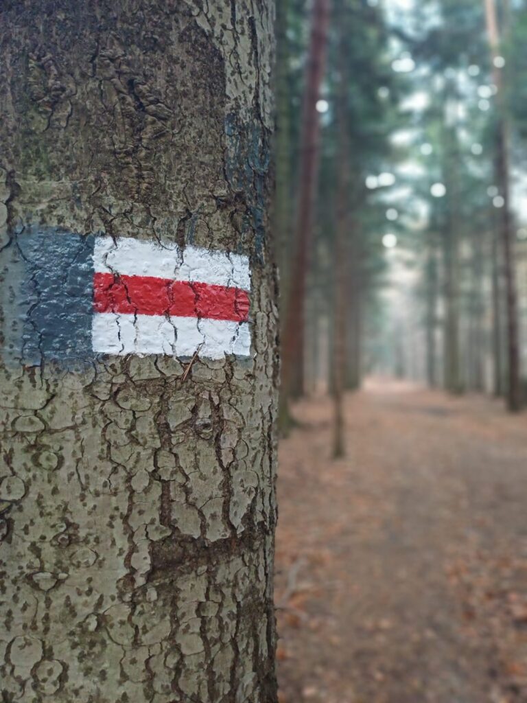
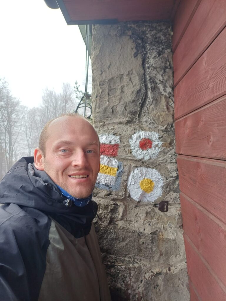
Ogólnie jak wspomniałem trasa wg różnych źródeł ma około 135 km, ale wiadomo teoria to jedno, a trasa to coś innego. Zawsze dochodzą jakieś podejścia, pomyłki itp. Mój licznik zamknął się na 148 km. Całość podzieliłem na 4 dni marszu, co daje średnią dobrze ponad 30 km dziennie (34, 43, 34 i 37). Warunki pogodowe jak na tę porę roku były całkiem przyjemne, choć wiele odcinków dało mi popalić. Niestety, ale miłośnicy offroadu bardzo upodobali sobie niektóre fragmenty czerwonego szlaku PIESZEGO i miejscami solidnie go zaorali (zwłaszcza rejon Palczy i Myślenic).
MSB mogę ocenić jako ciekawą i zróżnicowaną trasę, choć na pewno pakując plecak warto dorzucić trochę więcej wody i prowiantu, ponieważ nie ma zbyt wielu schronisk, zwłaszcza brakuje ich na odcinku od Leskowca do Kudłaczy. Trochę sytuację ratują mijane miejscowości, ale tutaj również nie zawsze jest kolorowo. Idąc w dni świąteczne większość sklepów jest zamknięta, a miejscem doposażania się w wodę czy jedzenie zostaje nieśmiertelny sklep spod znaku zielonego płaza oraz stacje benzynowe (co odbija się na portfelu).
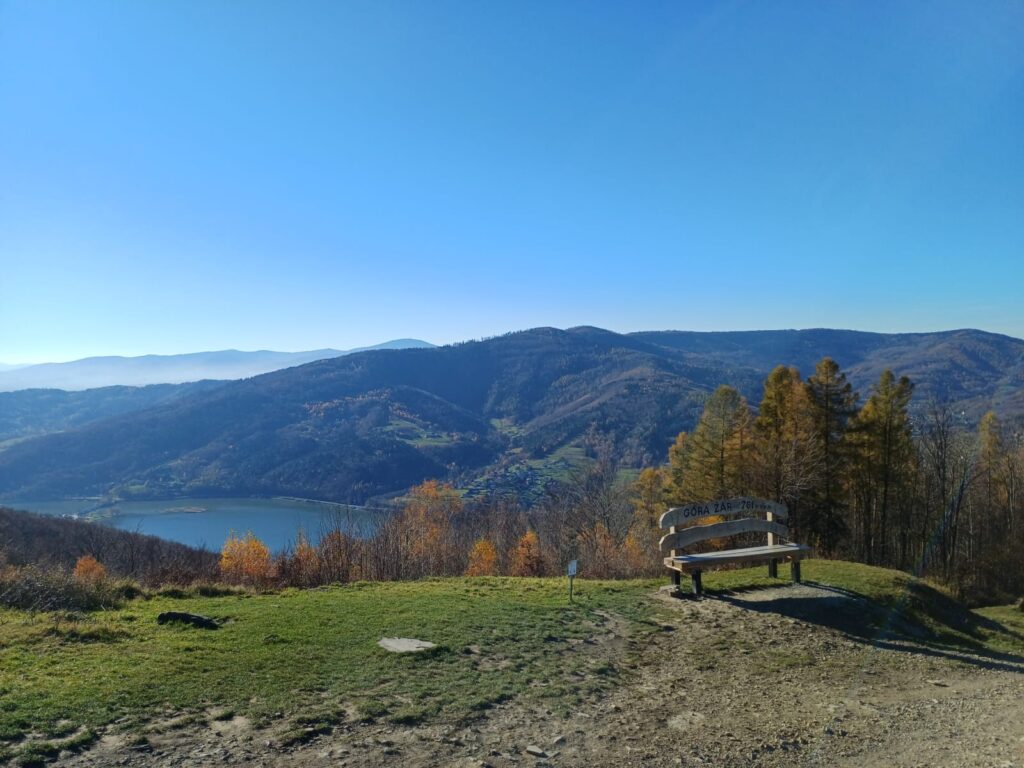
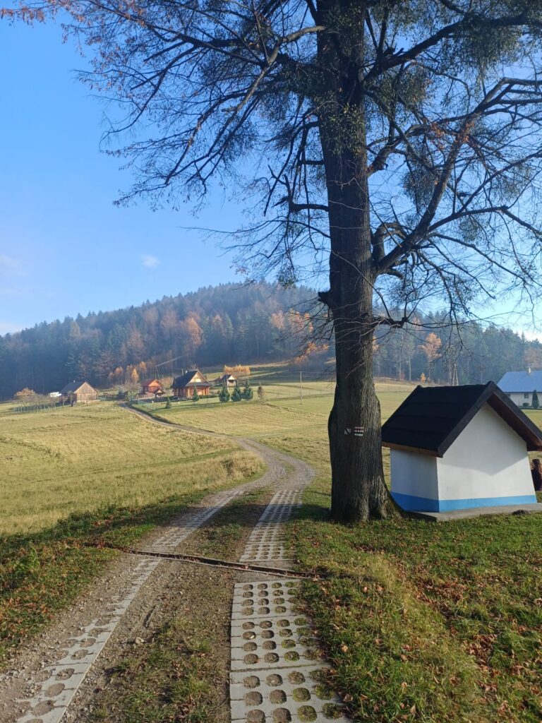
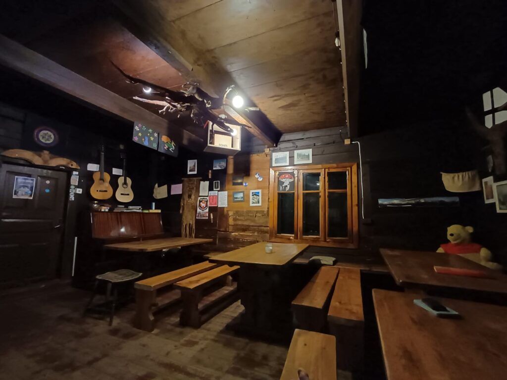
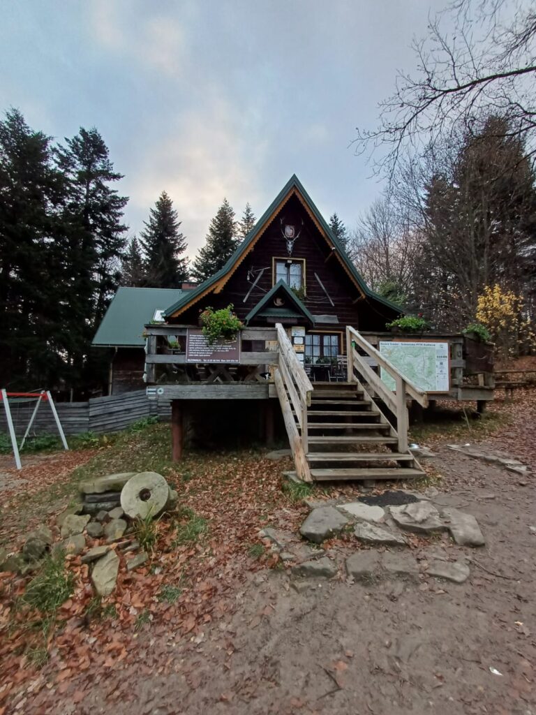
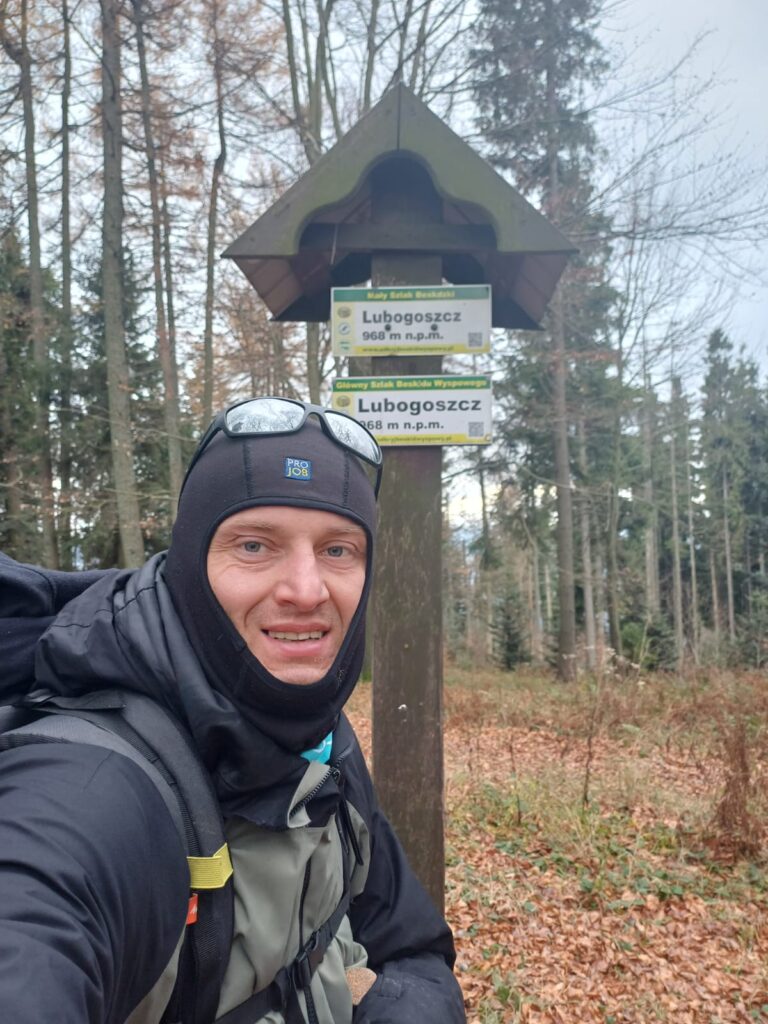
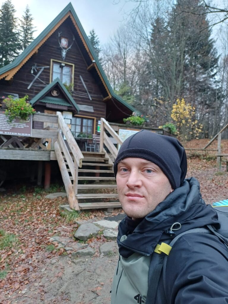
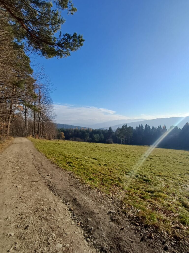
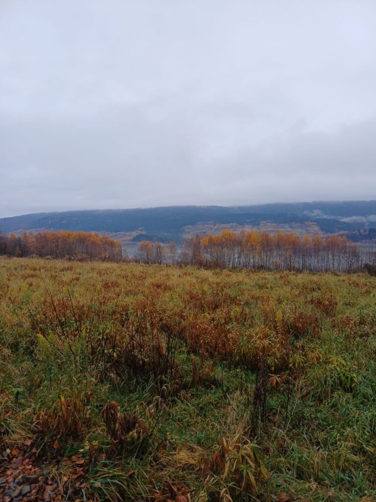
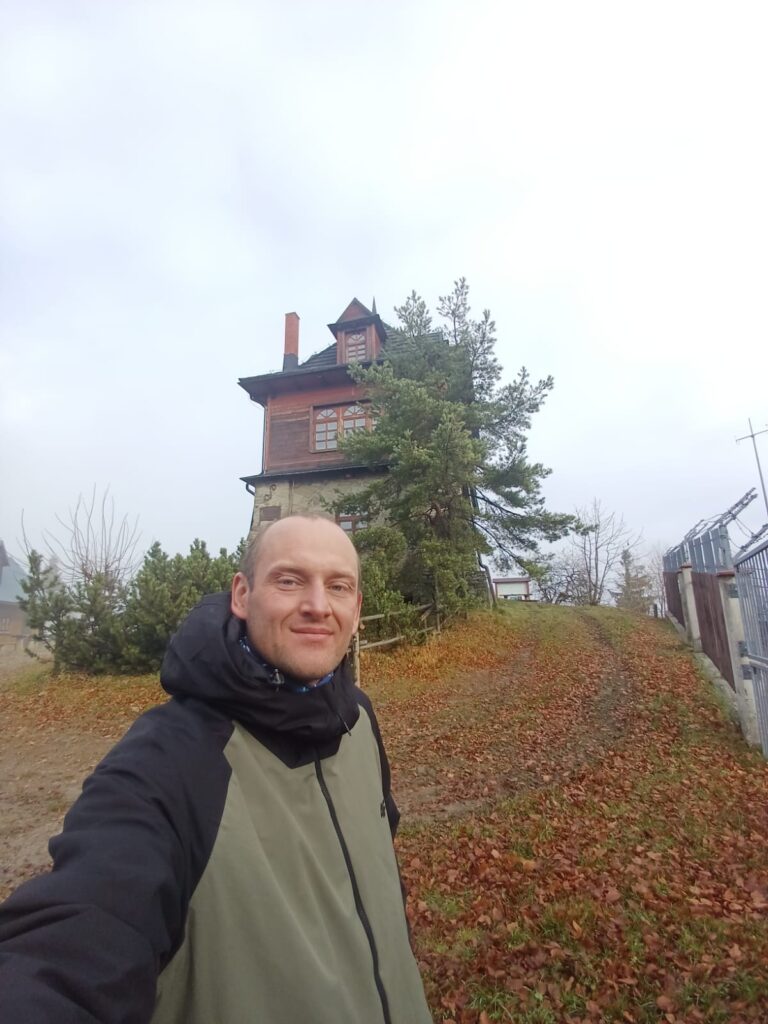
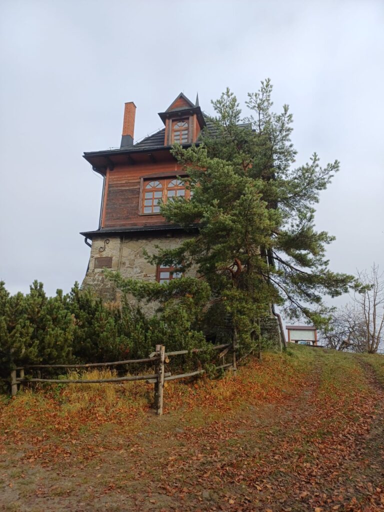
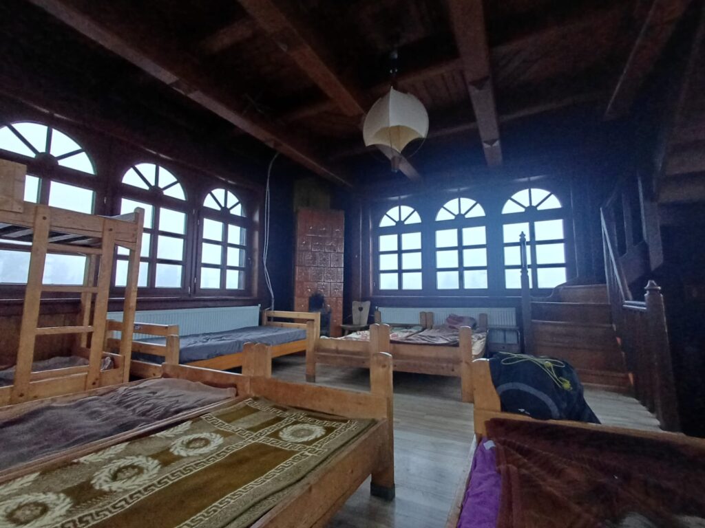
O ile Beskid Mały jest mi już trochę znany, to rejon Myślenickiego czy Wyspowego był nowością i to naprawdę wartą uwagi. Panoramy, przestrzeń i piękne widoki. Najbardziej widokowo urzekł mnie rejon od Lubomira do Kasiny, jednak teraz już doskonale rozumiem dlaczego to pasmo nazywa się wyspowym. Ilość wejść i zejść na poszczególne „wyspy” dawała we znaki, a profil wysokości na aplikacji przypominał momentami wykres EKG. W każdym razie finał w najmniejszym, ale najbardziej klimatycznym schronisku jakie znam, czyli na Luboniu Wielkim rekompensuje trudy minionych dni. Dodatkowo, jeśli od drzwi słyszy się dźwięki klasyki polskiego punka i metalu to wiesz, że jesteś we właściwym miejscu „opactwie”.
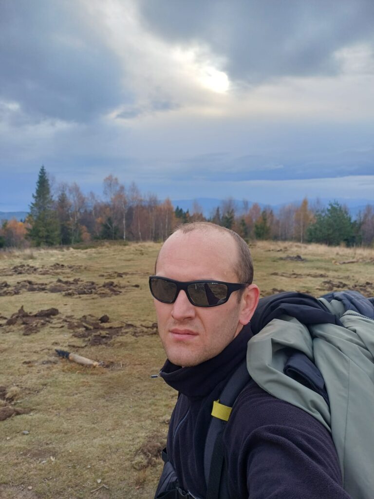
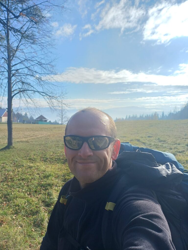
W związku z moją lekko prepperską naturą i wedle zasady „lepiej nosić jak się prosić” tradycyjnie wziąłem dość dużo rzeczy do plecaka, ale idąc samemu wolę być przygotowany na różne sytuacje dlatego poczciwa świnia (jak pieszczotliwie nazywam ten plecak) zawierała m.in.: apteczkę, 2 czołówki, folię NRC, śpiwór, powerbank, telefon z aplikacją Ratunek (tak na zapas), termos i wodę, zapas jedzenia. Jednak ostatecznie waga plecaka zamknęła się w 14 kg, więc całkiem znośnie.
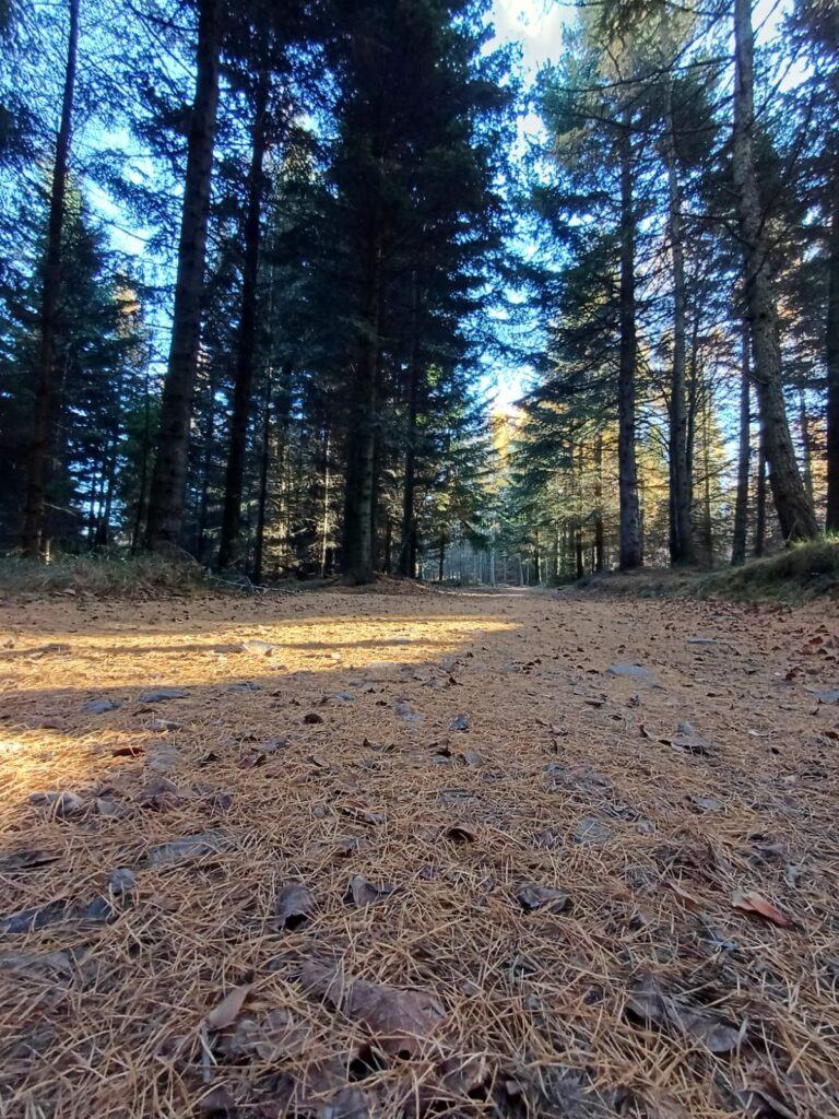
Choć był to mój pierwszy to na pewno nie ostatni szlak długodystansowy, ale myślę, że następnym razem wybiorę trochę inny okres. Choć temperatura była bardzo przyjemna to jednak wilgoć, krótki dzień i ogrom liści leżących na szlaku utrudniały dreptanie i dodatkowo męczyły nogi.
About a year ago, the idea of hiking a long-distance mountain trail began to sprout in my head, and after some thought, I decided on the Mały Szlak Beskidzki (MSB – the Small Beskid Trail). Behind this modest name lies a route of about 135 km that starts in Bielsko-Biała Straconka and leads through the Beskid Mały, Makowski and Wyspowy ranges, ending at Luboń Wielki near Rabka-Zdrój. The project took quite a while to mature. In the meantime, I packed my backpack twice, but each time I didn’t feel ready and postponed the start — until last week. It was the last long weekend of the year, so I had to make the most of it.
As I mentioned, the trail is roughly 135 km long according to various sources, but theory is one thing and practice another. There are always extra climbs, mistakes etc. My counter stopped at 148 km. I divided the route into four days of hiking, averaging well over 30 km a day (34, 43, 34, and 37). The weather was quite pleasant for this time of year, though some sections were tough. Unfortunately, off-road enthusiasts have taken a liking to certain parts of the red hiking trail and have really torn them up — especially around Palcza and Myślenice.
I’d describe the MSB as an interesting and varied route, though when packing your backpack, it’s definitely worth taking extra water and food, since there aren’t many mountain shelters — particularly between Leskowiec and Kudłacze. The situation is somewhat improved by the villages along the way, but even there things aren’t always easy. On public holidays, most stores are closed, so refilling supplies usually means relying on some stores and gas stations — which hits the wallet a bit.
While I was already somewhat familiar with the Beskid Mały, the Myślenicki and Wyspowy regions were new to me — and well worth exploring. The panoramas, open spaces, and beautiful views were stunning. The stretch from Lubomir to Kasina impressed me the most with its scenery, but now I fully understand why this range is called “Wyspowy” (the “island” mountains). The constant ups and downs on each “island” really tested me, and the elevation profile on my app sometimes looked like an ECG reading. In any case, the finish at the smallest yet most atmospheric mountain hut I know — on Luboń Wielki — made up for all the hardships of the past days. Plus, when you hear the sounds of classic Polish punk and metal as soon as you walk through the door, you know you’ve reached the right place — in your “abbey.” 😊
Because of my slightly prepper nature and the rule of “better to carry it than to beg for it,” I packed quite a bit of gear, but since I was hiking alone, I preferred to be ready for any situation. My trusty “pig” (as I affectionately call my backpack) contained, among other things, a first aid kit, two headlamps, an emergency blanket, a sleeping bag, a power bank, a phone with the Ratunek emergency app (just in case), a thermos, water, and extra food. In the end, the pack weighed 14 kg — quite manageable.
Although this was my first long-distance trail, it definitely won’t be my last. However, I think next time I’ll choose a different season. The temperatures were pleasant, but the humidity, short days, and thick carpet of fallen leaves on the trail made hiking more difficult and tiring for the legs.